Geospatial Services

Data-driven intelligence for operational clarity

Saylus provides advanced geospatial data capture, analytics, and visualisation solutions to support informed decision-making in challenging environments. We ensure critical spatial information is accessible, reliable, and actionable, reducing uncertainty, strengthening compliance, and improving operational efficiency.

Remote Sensing & Spatial Data Capture

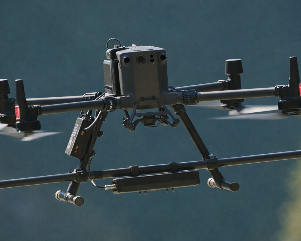
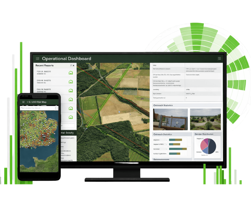
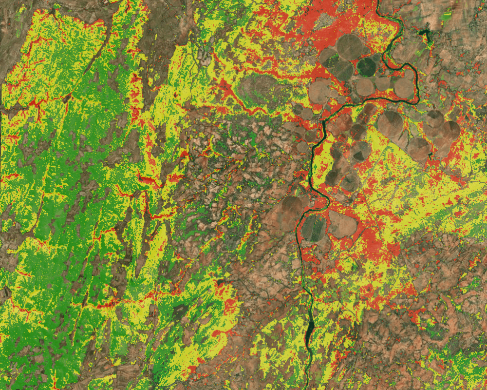
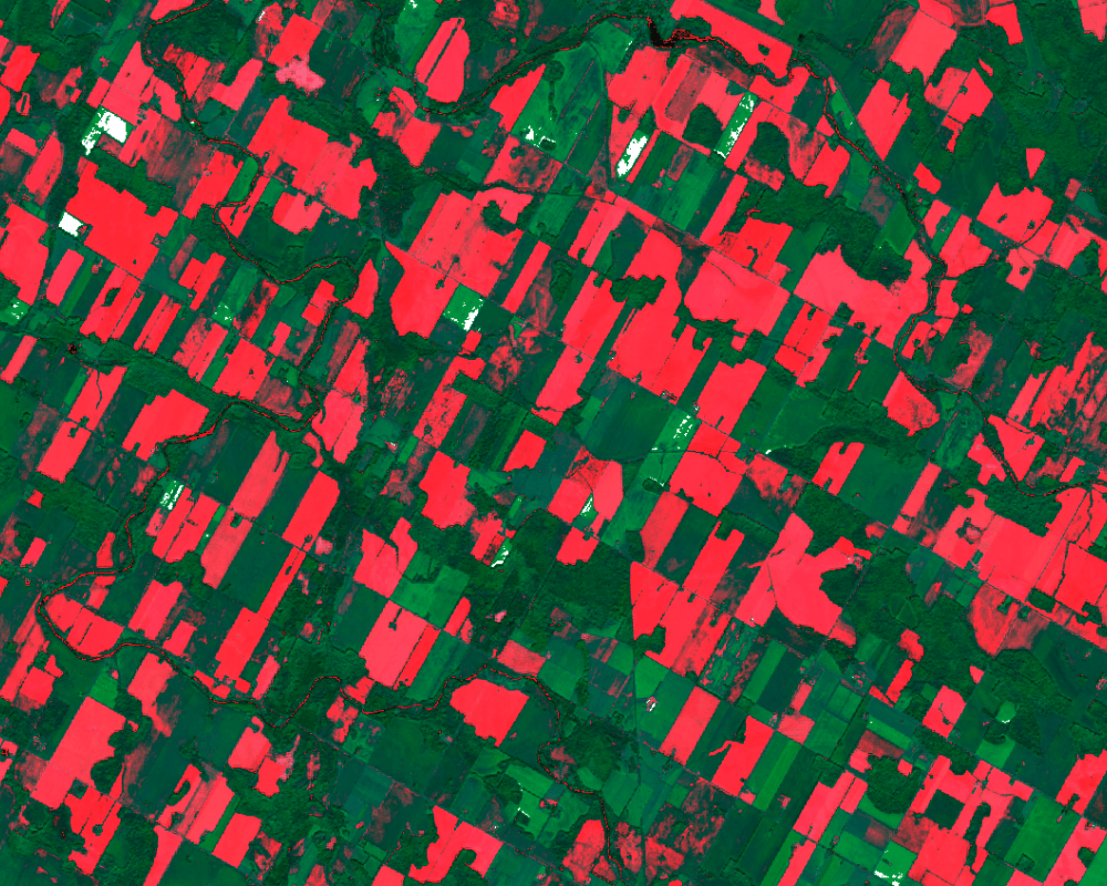
Saylus delivers multi-sensor spatial data acquisition combining aerial, satellite, LiDAR, GPR and subsurface detection to provide comprehensive visibility where access is limited, complex or hazardous. These datasets support safe planning, accurate hazard zoning and verifiable progress monitoring.

Services Included:

  • UAV mapping and inspection
  • Light Detection and Ranging (LiDAR) for high-resolution terrain and structure modelling
  • Ground Penetrating Radar (GPR) for buried utility and ground-anomaly detection
  • RGB and Multispectral image capture
  • Magnetometer surveys for UXO detection and buried infrastructure mapping
  • Pre- and post-construction verification products
  • 3D terrain and surface modelling

GIS Analytics & Dashboard Development

We design user focused mapping and reporting solutions that integrate operational data into clear, real-time intelligence. Our dashboards support oversight of safety, performance and compliance across multi-stakeholder programmes.

Services Included:

  • Integrated operational GIS dashboards
  • Data ingestion workflows and spatial data management
  • Interactive mapping tools for field and stakeholder use
  • IMSMA, ArcGIS and Web-GIS system integration
    KPI and compliance monitoring visualisation

Change Detection & Environmental Impact Monitoring

Saylus monitors land-use change, infrastructure condition and environmental trends to support early risk identification and targeted intervention. These insights allow clients to act before issues escalate.

Services Included:

  • Automated multi-temporal change detection
  • Environmental degradation and recovery monitoring
  • Asset and linear infrastructure condition tracking
  • Alerting and anomaly identification workflows
    Vegetation, hydrology and land-disturbance analytics

Supply-Chain & Land-Use Diagnostics

We provide defensible geospatial intelligence to strengthen ESG reporting and sustainable procurement strategies. Our tools highlight exposure, track progress and identify where interventions will have the greatest impact.

Services Included:

  • Deforestation and biodiversity risk analytics
  • Carbon-linked land-use performance indicators
  • Supplier traceability and hotspot mapping
  • Compliance insights for regulatory and investor disclosure
  • Scenario modelling for targeted sustainability actions